- Phone : +92 62-925-5579
- Email : addl.dir.dost@iub.edu.pk
- Work Hours : Mon - Fri : 09:00 - 18:00
Tourism
Adventure tours
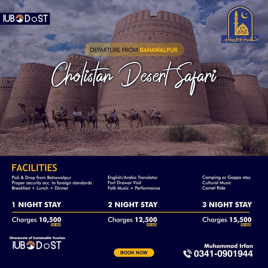
Desert Safari
The Cholistan Desert (Urdu: صحرائے چولستان; Punjabi: چولستان روہی), also locally known as Rohi (روہی), is a large desert in the southern part of Punjab, Pakistan that forms part of the Greater Thar Desert, which extends to Sindh province and the Indian state of Rajasthan. It is one of two large deserts in Punjab, the other being Thal Desert. The name is derived from the Turkic word chol, meaning “sands,” and istan, a Persian suffix meaning “land of.”
In ancient times, Cholistan was a fertile region with a large river fed by meltwater from the Himalayas, and so has a high density of ancient settlements from the Indus Valley Civilization period dating back as early as 4000 BCE. The region later became a center for caravan trade, leading to the construction of numerous forts in the medieval period to protect trade routes – of which the Derawar Fort is the best preserved example.
Cholistan’s climate is characterized as an arid and semi-arid Tropical desert, with very low annual humidity. The mean temperature in Cholistan is 28.33 °C (82.99 °F), with the hottest month being July with a mean temperature of 38.5 °C (101.3 °F). Summer temperatures can surpass 46 °C (115 °F), and sometimes rise over 50 °C (122 °F) during periods of drought. Winter temperatures occasionally dip to 0 °C (32 °F). Average rainfall in Cholistan is up to 180mm, with July and August being the wettest months although droughts are common
Hindu Kush
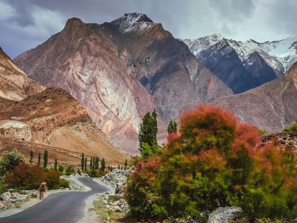
The Hindu Kush is an 800-kilometre-long (500 mi) mountain range in Central and South Asia to the west of the Himalayas. It stretches from central and western Afghanistan into northwestern Pakistan and far southeastern Tajikistan. The range forms the western section of the Hindu Kush Himalayan Region (HKH); to the north, near its northeastern end, the Hindu Kush buttresses the Pamir Mountains near the point where the borders of China, Pakistan and Afghanistan meet, after which it runs southwest through Pakistan and into Afghanistan near their border. The eastern end of the Hindu Kush in the north merges with the Karakoram Range. Towards its southern end, it connects with the Spin Ghar Range near the Kabul River. It divides the valley of the Amu Darya (the ancient Oxus) to the north from the Indus River valley to the south.
The range has numerous high snow-capped peaks, with the highest point being Tirich Mir or Terichmir at 7,708 metres (25,289 ft) in the Chitral District of Khyber Pakhtunkhwa, Pakistan.
Pamir
The Pamir Mountains are a mountain range between Central Asia, South Asia, and East Asia. It is located at a junction with other notable mountains, namely the Tian Shan, Karakoram, Kunlun, Hindu Kush and the Himalaya mountain ranges. They are among the world’s highest mountains. Much of the Pamir Mountains lie in the Gorno-Badakhshan Province of Tajikistan. To the south, they border the Hindu Kush mountains along Afghanistan’s Wakhan Corridor in Badakhshan Province. To the north, they join the Tian Shan mountains along the Alay Valley of Kyrgyzstan. To the east, they extend to the range that includes China’s Kongur Tagh, in the “Eastern Pamirs”,separated by the Yarkand valley from the Kunlun Mountains.
According to Middleton and Thomas, “pamir” is a geological term. A pamir is a flat plateau or U-shaped valley surrounded by mountains. It forms when a glacier or ice field melts leaving a rocky plain
Karakorum-Excursion
First on the list is the Trekking on the mountains of the immense range of Hindukush, Karakorum. Pakistan is a paradise for mountain hikers, with roads in the mountains of North Karakoram, the Himalayas, Hindu Kush, and Pamir. You can also hike in the different parts of northern Pakistan. For instance, the Kalam Valley, cool heaven on Earth. Just, imagine this paradise, a paradise for hiking lovers. The once-powerful Taliban, now controlled by Pakistan’s Army is 100% secure and beautiful. Famous places are Mahodand Lake, Boyun, Ushu Valley, and Utror Valley.
Mountains lie in the Gorno-Badakhshan Province of Tajikistan. To the south, they border the Hindu Kush mountains along Afghanistan’s Wakhan Corridor in Badakhshan Province. To the north, they join the Tian Shan mountains along the Alay Valley of Kyrgyzstan. To the east, they extend to the range that includes China’s Kongur Tagh, in the “Eastern Pamirs”,separated by the Yarkand valley from the Kunlun Mountains.
Malam Jabba-Skiing
As we all know, Malam Jabba is the only ski resort in Pakistan and offers immensely panoramic views a whole year. Here you can find the most Adventurous Game of Skiing. Additionally, Malam Jabba International Alpine Ski Cup Championship also held every year. Importantly, International skiers participate in this grand event. The area also features Buddhist stupas and six monasteries throughout the complex. Hence, the presence of monuments at this altitude indicates that the area has a history of more than 2,000 years.
Subscribe & Follow us
Subscribe & Get More Information
Get IUB-DoST news and updates.
IUB-DoST is to integrate all aspects of tourism & hospitality development and management rather than being an add-on component.
- Phone : +92 62-925-5579
-
Address: Islamia University of Bahawalpur
Baghdad-ul-Jadeed Campus


 Users Today : 12